Checked
Outdoors / Conservation shortlist
Saskatoon, Saskatchewan, Canada
A researched shortlist for Saskatoon, Saskatchewan. Compare addresses, practical details and maps.
Key information
This is a growing shortlist. Each place has its own source and address. Read the article for comparisons and dated community opinions.
On this page
Place details and maps
Beaver Creek Conservation Area
Highway 219, approximately 13 km south of Saskatoon, Saskatchewan
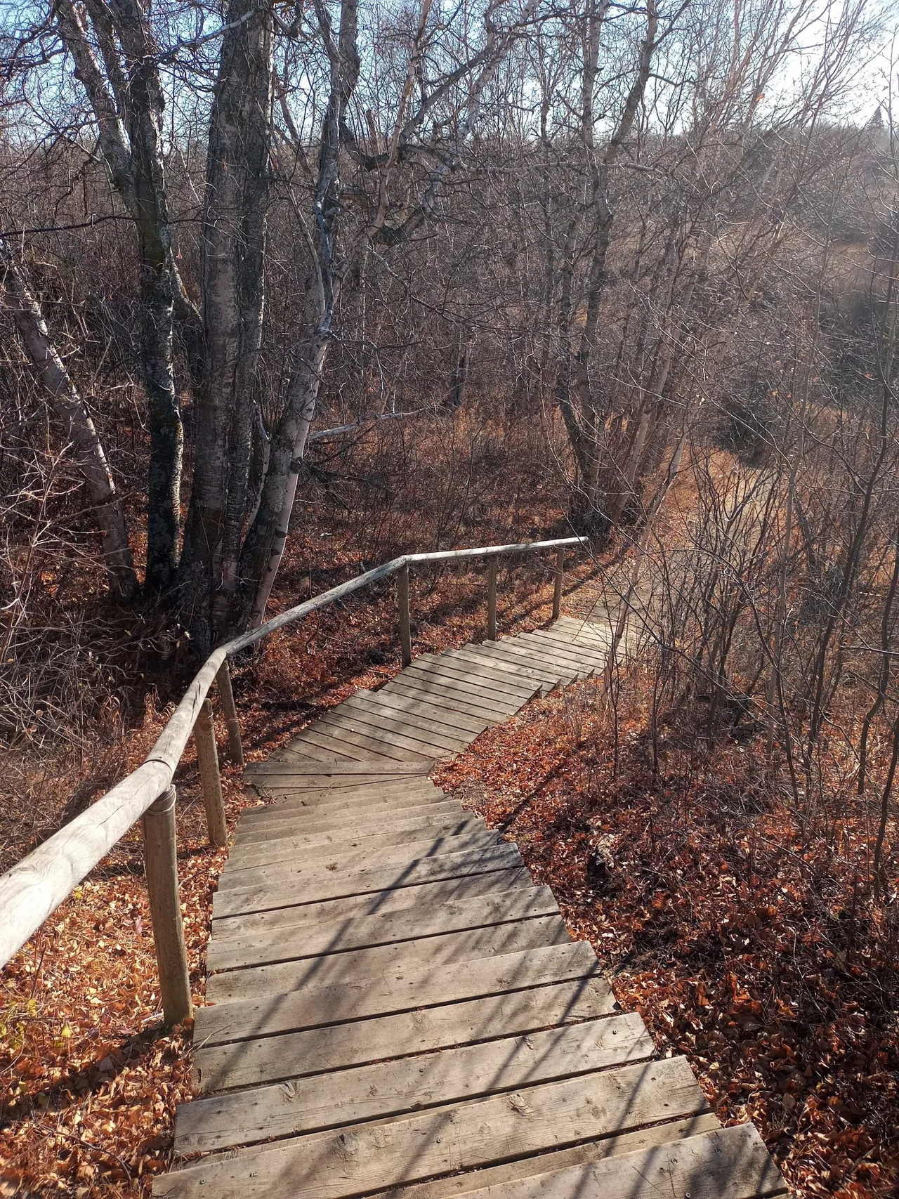
Protected creek, prairie and river habitat reached by the signed conservation-area turnoff.
- Hours
- Wednesday-Sunday, 9 am-4 pm
- Pets
- Not permitted
- Useful for
- A planned bird and trail visit
- Before visiting
- No pets or bikes beyond the parking lot. Gates lock at 4 pm.
Sources: Meewasin: Beaver Creek visitor rules
Map searches identify a place and address. They do not verify entrances or step-free routes.
Plan your visit
Useful questions
How far south of Saskatoon is Beaver Creek?
The operator describes it as about 13 km south.
Which road should I take?
Highway 219 south from Lorne Avenue.
Should I turn at the Hamlet sign?
No. Continue to the signed Beaver Creek Conservation Area turnoff.
What are the regular open days?
Wednesday through Sunday under the current schedule.
When do the gates lock?
At 4 pm sharp, with all vehicles off site.
Can I ride a bike on the trails?
No. Bikes are not permitted beyond the parking lot.
Is there drinking water?
No potable water is available, so bring your own.
Can I feed chickadees?
Ask staff at the interpretive centre for seed and guidance.